The Lab of Remote Sensing Satellite Images Applications is dedicated to develop innovative application through the use of optical remote sensing data (multi- and hyper-spectral) and SAR, integrated with GIS analysis.
The topics of interest include: fire monitoring, vulcanic eruptions monitoring, oil spills, monitoring of agricultural areas and precision agriculture, the development of applications related to safety issues (borders permeability permeability, monitoring of refugee camps) and disaster management (dust storm, damage assessment, early warning, etc.).
The activities of the laboratory are oriented, in particular, to the development of automatic monitoring applications in 'real-time'. The laboratory is equipped with the software and hardware tools necessary for satellite images processing and an extensive archive of satellite images including images in low, high and very high spatial resolution, optical and radar.
Equipped with software and hardware instruments, and with a wide dataset of satellite images including low as well as very high spatial resolution, both optical and radar, the laboratory relies on two satellite image acquisition systems: one located in Rome, and another one in the Broglio Space Center in Malindi, Kenya.
Rome Station acquires images from SEVIRI (Spinning Enhanced Visible and Infrared Imager), on board Meteosat Second Generation (MSG) satellite, and images from MODIS and AVHRR satellites, while Malindi Station could acquire high resolution images (Landsat, CBERS, etc.)

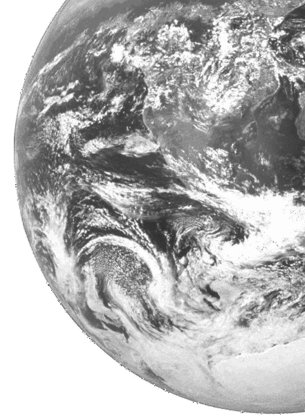
(image courtesy ESA)
© Università degli Studi di Roma "La Sapienza" - Piazzale Aldo Moro 5, 00185 Roma