
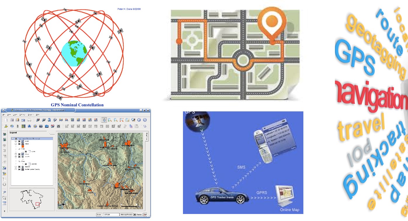
Geolocation and Navigation
Instructor information
Module leader: Prof. Augusto Mazzoni
Course information
ECTS: 6 credits
Status: Elective
Semester: 1
Hours: 30/18 (lectures/exercises)
Link: course page
Objectives
The goal of the course is to supply the fundamentals about the geomatics technologies related to positioning and navigation (Global Navigation Satellite Systems – GNSS, mainly GPS), to assisted guide of vehicles (Mobile Mapping Systems – MMS) and to archiving and management of geospatial data (Geographical Information Systems – GIS e WebGIS).
Syllabus outline
- Global Navigation Satellite Systems – GNSS: introduction to GNSS; GPS: positioning and technicalities fundamentals; reference systems and frames; pseudorange and carrier phase observations modelling and processing; different kinds of GPS surveys, Network Real Time Kinematic surveys; application to vehicles positioning and navigation
- Mobile Mapping Systems – MMS: components of a MMS and sensors; principles of sensors integration; accuracy and applications of MMS
- Geographical Information Systems (GIS): principles and goals; GIS functionalities (raw data acquisition, data preprocessing and organization, data analysis and investigation, results interpretation); objects representation (raster and vector data structures, geometrical and topological primitives); GIS design: external, conceptual, logical and internal models; general information about WebGIS; commercial (ArcGIS) and Open Source (QGIS) GIS software
- The presentation of the mentioned items will be completed with practical exercises.
- Fundamental concepts of Positioning and Mapping are required, anyway they are shortly summarized at the beginning of the course.
- Exam procedure: oral exam, with discussion of the practical exercises developed during the course.
Essential reading list
All texts are available at the library of the Geodesy and Geomatics Division – DICEA – University of Rome “La Sapienza”:
- A. El-Rabbany – Introduction to GPS – Artech House
- R. Galati – Geographical Information System Demystified – Artech House
- P. Fu, J. Sun - Web GIS: Principles and Applications – ESRI
- C. V. Tao and J. Li – Advances in Mobile Mapping Technology – ISPRS Book Series – ISPRS
Recent theses
- Alessio Conte (2017) RTCM2PVT: an innovative real-time tool for GNSS precise PVT estimation
- Edoardo Fornaciari (2017) Raw GNSS Measurements Provided By Android 7 Smartphones: Preliminary Results Of Vehicles Precise PVT Estimation